1 2 3 4 5 6 7 8 9
10 11 12 13 14 15 16 17
EL
MALPAIS NATIONAL MONUMENT
(pronounced ell-mal-pie-ees) means "the
badlands" in Spanish
El
Malpais National Monument
We were driving along Route 40 from Santa
Fe to Grants, New Mexico and came upon terrain that first appeared to be an
"asphalt graveyard." It turned out to be centuries old
lava.
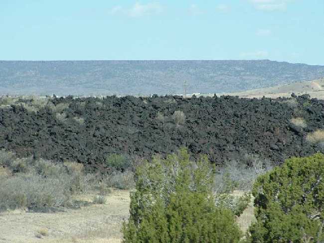
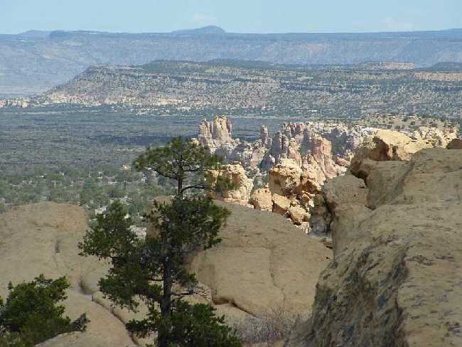
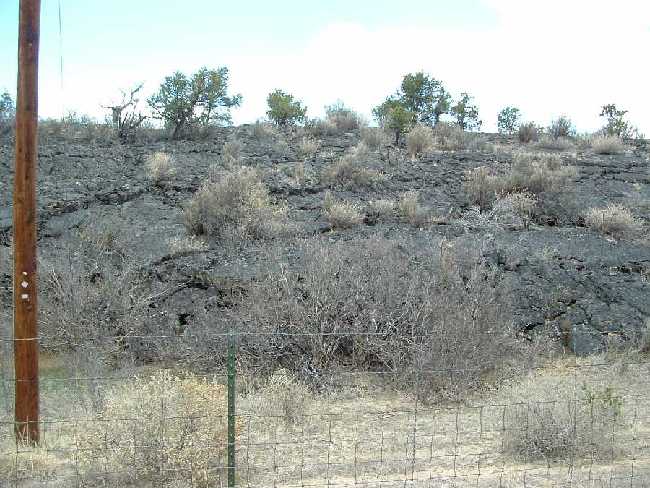
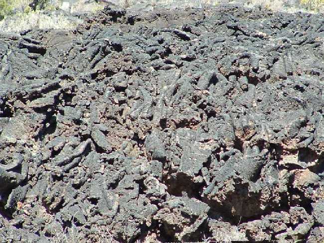
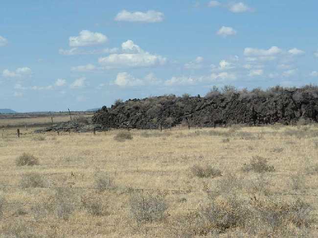
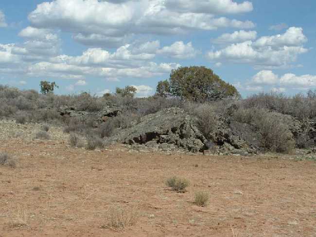
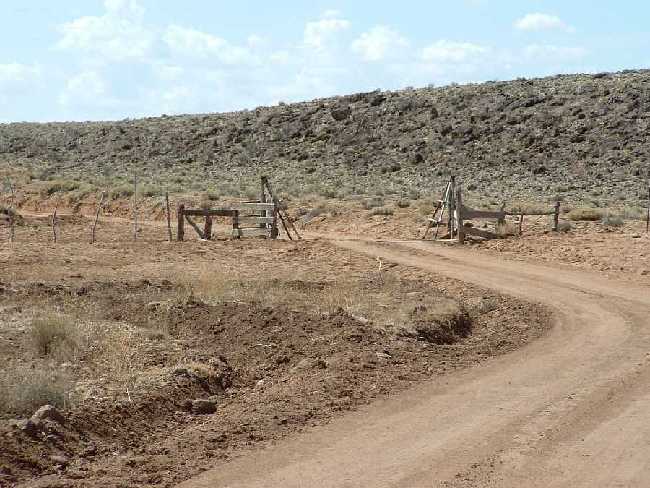
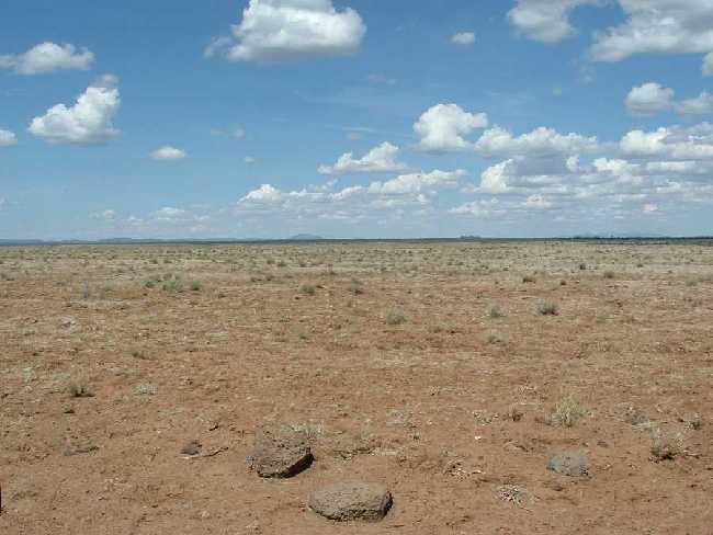
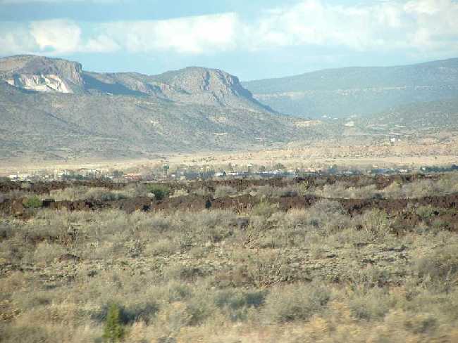
El Malpais National Monument is 590 square miles of lava flows (an area half the size of Rhode Island) created from over 30 volcanoes The area is a collection of volcanic cones, gaping craters, natural arches and chilly lava caves.
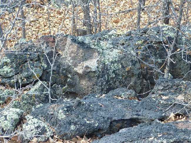
The lava tubes contain hundreds of caves that support wildlife as well as vegetation. In the case of the "critters," several species are blind. Because they never leave the confinement of the cave and because of the total darkness, there is no need for sight. We noticed a lot of birds but not much wildlife. We later learned that in this area, certain species of lizards, toads, frogs, squirrels and rodents are black -- allowing them to blend in with the lava for added protection from predators. Animals and plants have adapted to this barren plateau. Since poisonous scorpions and rattlesnakes are common on the desert and in the rocks, we avoided a lot of hiking to get better views!
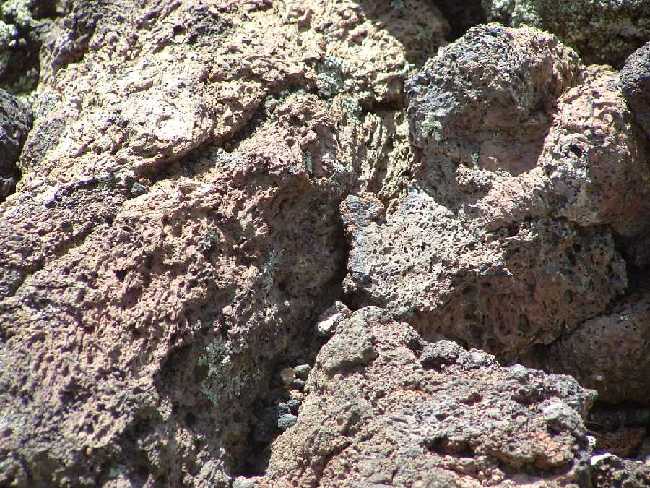
The plateau is characterized by "recent" volcanic activity -- eruptions that occurred during the last three million years! There are several types of lava, many of which bear Hawaiian names (see photos 13 and 14 below). Smooth, ropy-textured Lava is called pohoehoe (pronounced pah-hoy-hoy) and a'a (pronounced Ah-ah) is sharp and jagged.
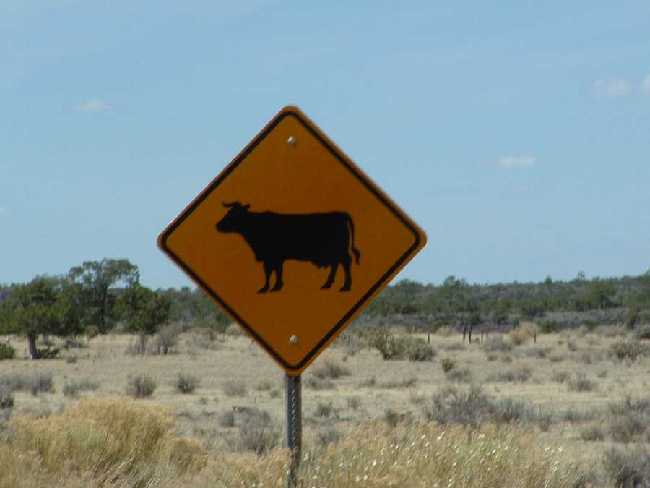
The Acoma people live to the East and the Zuni to the West. These two Puebloan people were the first to be visited by the Spaniards in the mid-1500s. This region of New Mexico was one of the last areas of the United States that remained open to homesteading. The countryside is dotted with abandoned cabins and barns and at one such site we even spotted an old car. The town of Grants was first settled in 1882 along the Atlantic and Pacific line (see Route 66 for detailed information about Grants, NM).
1
2
3
4
5
6
7
8
9
10
11
12
13
14
15
16
17
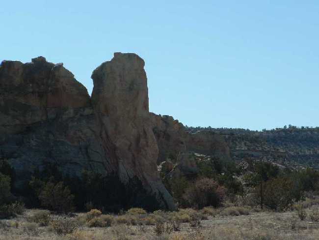
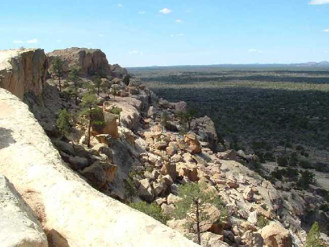
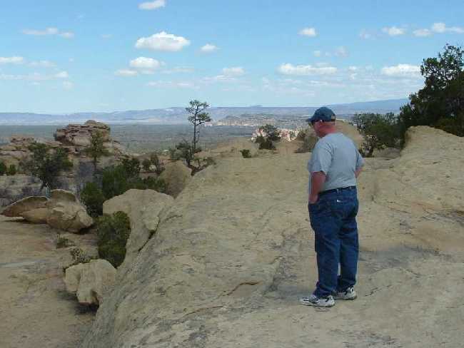
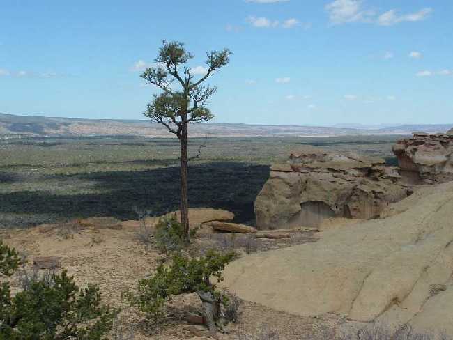
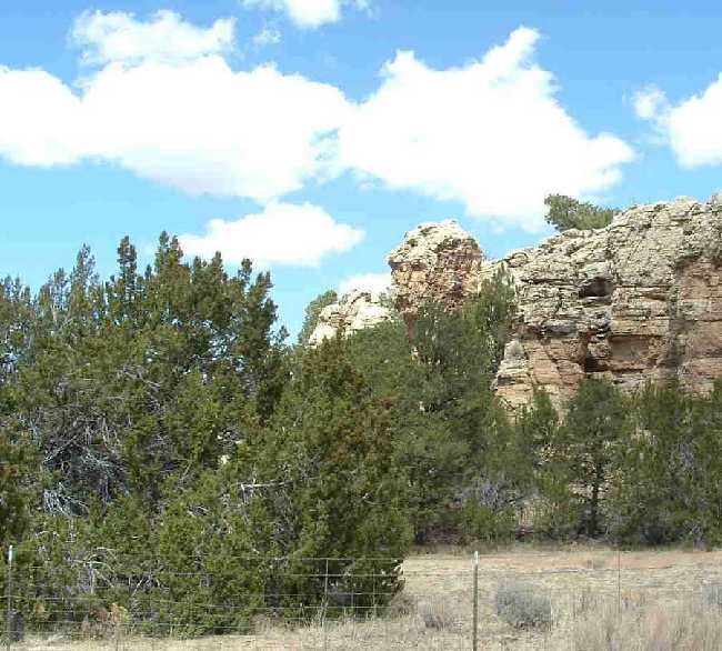
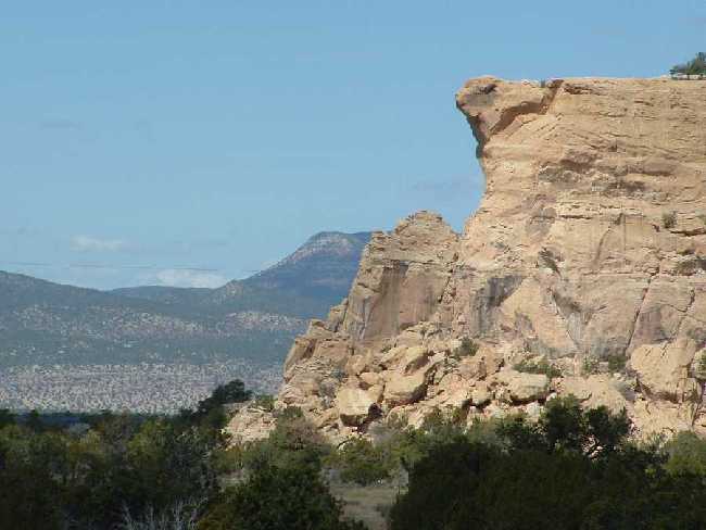
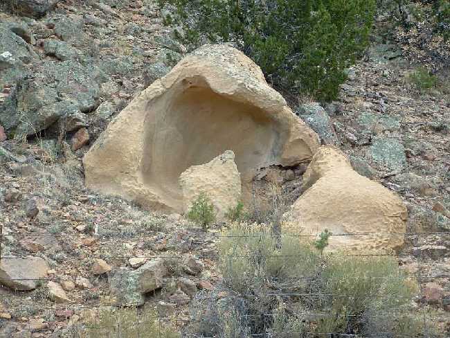
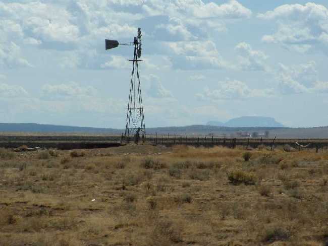
1-- Lava Along I-40; 2 -- Rock Formation; 3 -- Ron's View from 4 to the South; 4 -- Sandstone Bluffs Overlook; 5 -- Additional View from Sandstone Bluffs Overlook to the North; 6 -- Optical Illusion -- Tree is Growing Along a Ridge at the Top of a Deep Canyon; 7 -- Rock Formation in the Middle of Grazing Land; 8 -- Use Your Imagination -- Can you see the steer face at the top of the Cliff?; 9 -- Example of hundreds of years of erosion; 10 -- Lava flow; 11 -- Rock Formations; 12 -- Cattle graze on "open range" -- because of the climate and lack of water in the high desert, it takes in excess of 30 acres to support one steer; 13 -- Ppahoehoe Lava; 14 -- A'A Lava; 15 -- Lunch at The Narrows; 16 -- Water Pumps Dot the Countryside to provide water for livestock; 17 -- End of Lava Tube
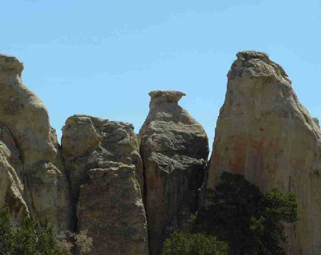
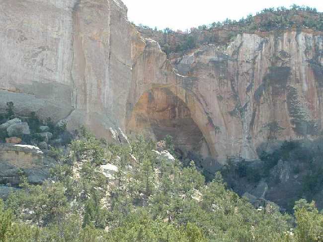
LaVentana
Natural Arch (part of El Malpais)
This is the largest of New Mexico's natural arches. This erosion of
sandstone dates back to the time of dinosaurs.

1
2
3
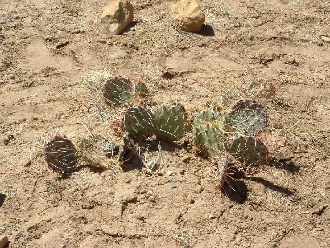
1 --Cactus; 2 -- LaVentana Natural Arch; 3
-- Blooming Cactus
Chain
of Craters Backcountry Byway
The Chain of Craters Backcountry Byway is the motorized access to the
West/Southwest/Northwest region of the National Monument. The
road is about 50 miles of dirt, ruts and spectacular scenery. It took us
about 4-1/2 hours to drive this Byway from the Continental Divide National
Scenic Trail (South) to Route 53 (North). Our speed never got over
10-15 miles an hour and often was even slower. We had been driving for a
couple hours and came upon a road off to the right with a sign --
"Primitive Road." The driver couldn't resist so he engaged the
four-wheel hubs and off we went. This road turned out to be an unused
section of the park roads and we found ruts that were deeper that the
undercarriage of the Jeep. It was the best part of the day's
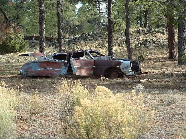
explorations! It was along this road that we found the car shell sitting
in the woods. There was an old house in ruins close by and it appeared as
if the inhabitants were in a hurry to leave and just left everything
behind. The northwest area had been damaged by a forest fire.
It appears to have been caused by lightning. Natural fires in these woods
help to renew the vegetation and actually promote better and stronger growth of
the trees and plant life which in turn strengthens the entire ecosystem.
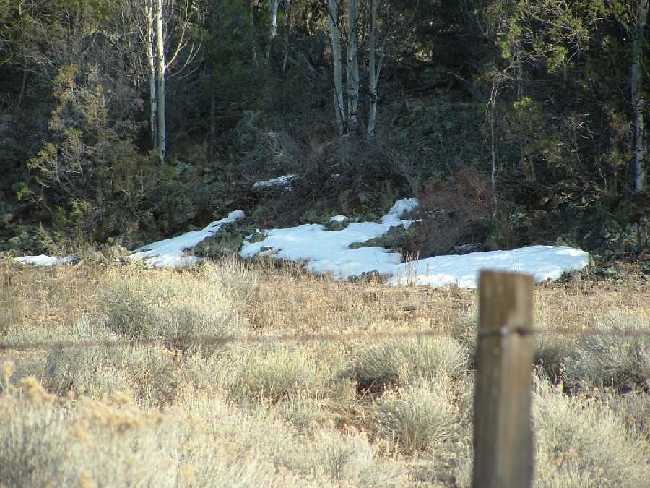
The
elevation in this area is approximately 8000 feet. For us folks accustomed
to "sea level," the air gets pretty thin!
1
2
3
4
5
6
1 -- Lava tube w/vegetation; 2 -- Cattle Crossing; 3 --
Desert for Miles and Miles and Miles; 4 -- Deserted Car;
5 -- Snow at approx 8000 ft; 6 -- Vista from flatlands to the
mountains
ICE
CAVE & BANDERA CRATER ("Land of Fire & Ice")
The property where the Ice Cave and Bandera Crater is adjacent to El Malpais
National Monument but has not been acquired by the
National Park Service and is operated as a privately owned business.
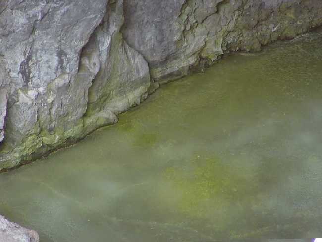
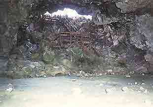
The Ice Cave is hidden in a collapsed lava tube. Inside, the temperature never rises above 31degrees F. The ice appears blue-green in color due to natural algae and light refraction. The cave temperature has such an impact on the entire lava tube that you can feel the temperature dropping as you descend the stairs. The cave is about a 100 foot descent from the trail on a very steep set of stairs. The thin air at this elevation even has in impact on your ability to descend and ascend normally. There are great examples of petrified wood, lava tubes and vegetation on the trail to the cave. Picture 3 is what we were able to see from the stairs. Picture 4 was taken off the Ice Cave Website and is a view that is no longer available to the public. This view is from within the cave and is has had significant artificial light to capture the picture.
We didn't hike to
the Bandera Crater. The base of the Crater is at approximately 8000 feet
and the viewing area is about 300 feet higher. The hike to the cave
provided all the breathing challenges we wanted for one day. Both of us
felt like there was a huge weight on our chest and at one point I (Nancy) got
slightly light headed. Give us sea level any day!
We were disappointed that you are no longer able to enter the cave after hiking UP the trail and then DOWN steep stairs to the cave. This is NOT disclosed at the Trail Head Trading Post where you have to pay a fee to enter the trail. Don't be tricked by the brochure. . .it shows people exploring the cave which can't be done.
1
2
3
4
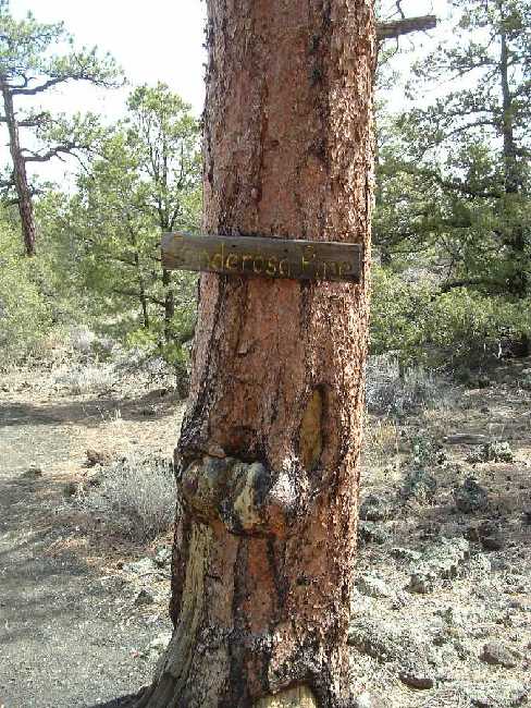
1 -- Lava; 2 -- Ponderosa
Pine; 3 -- Ice Cave (looking in from stairs); 4 -- Ice
Cave (looking out from inside the cave). Photo 4 can be seen on the Ice
Cave Website (www.icecaves.com)